
1. Devín
2. Borský Mikuláš
3. Borský Mikuláš II
4. Stupava
5. Kršlenica (Plavecký Mikuláš)
6. Sološnica – backup terrain
7. Rovnice (Bratislava) – backup terrain
Terrains and maps:
| Detail view from old maps | Terrain description | Old maps | New maps |
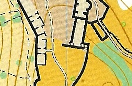 |
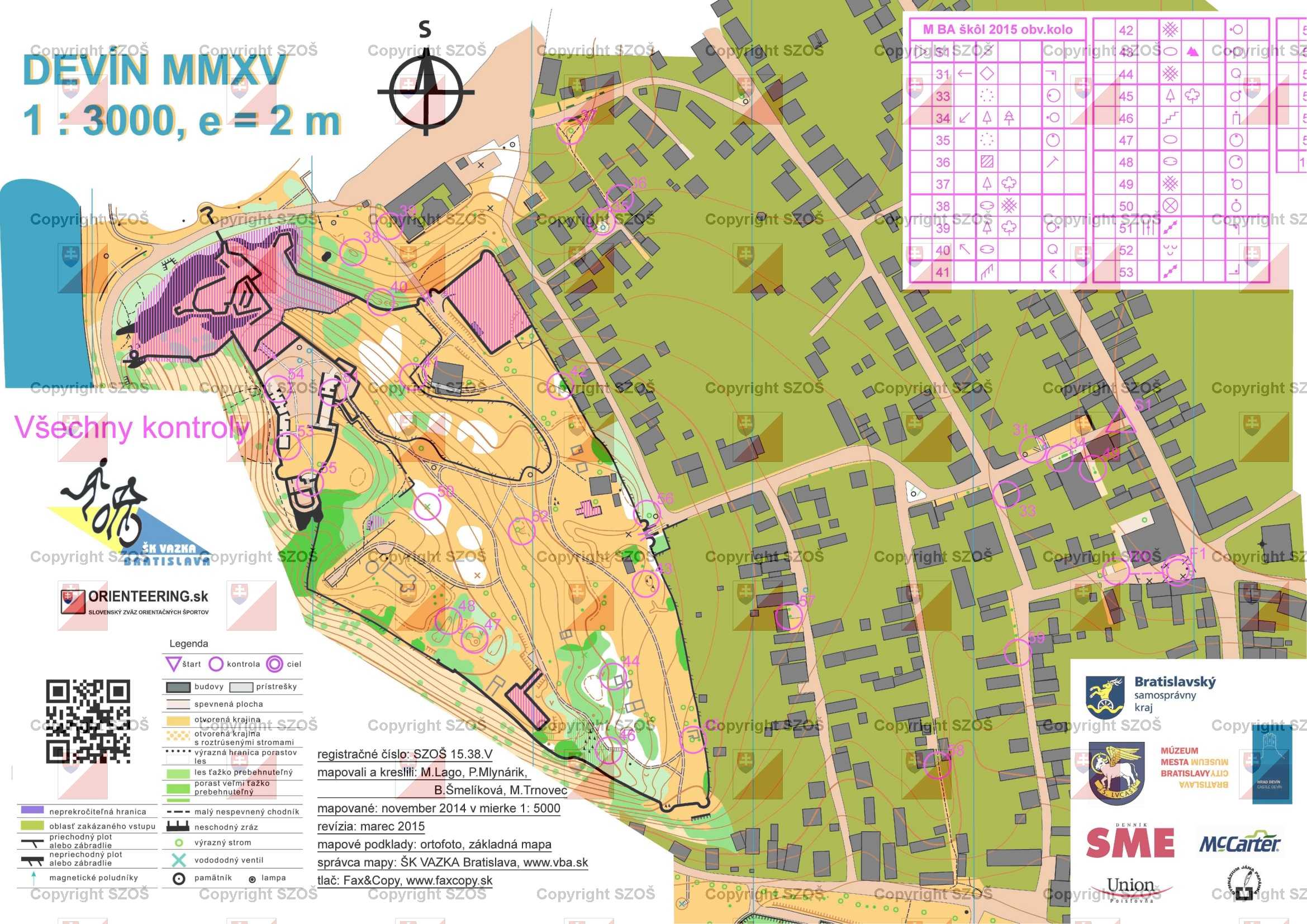
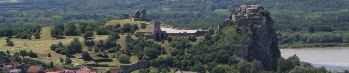
1. Devín (Bratislava) (48.173663, 16.978794) An ancient ruins of castle Devín located on a spectacular rocky cliff with archaeological excavations reminding marked ground plans of buildings, grassy hilly areas. 150 – 200m above sea level. Last FootO competition in year 2015. Never used for TrailO. |
1:3000, e=5m, 2014, ISSOM http://www.orienteering.sk/maps-new/mapy/mapa/mapa.php?j=sl&id=1390
|
1:4000, e=2.5m |
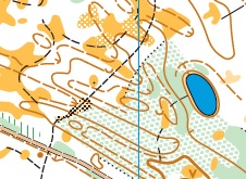 |
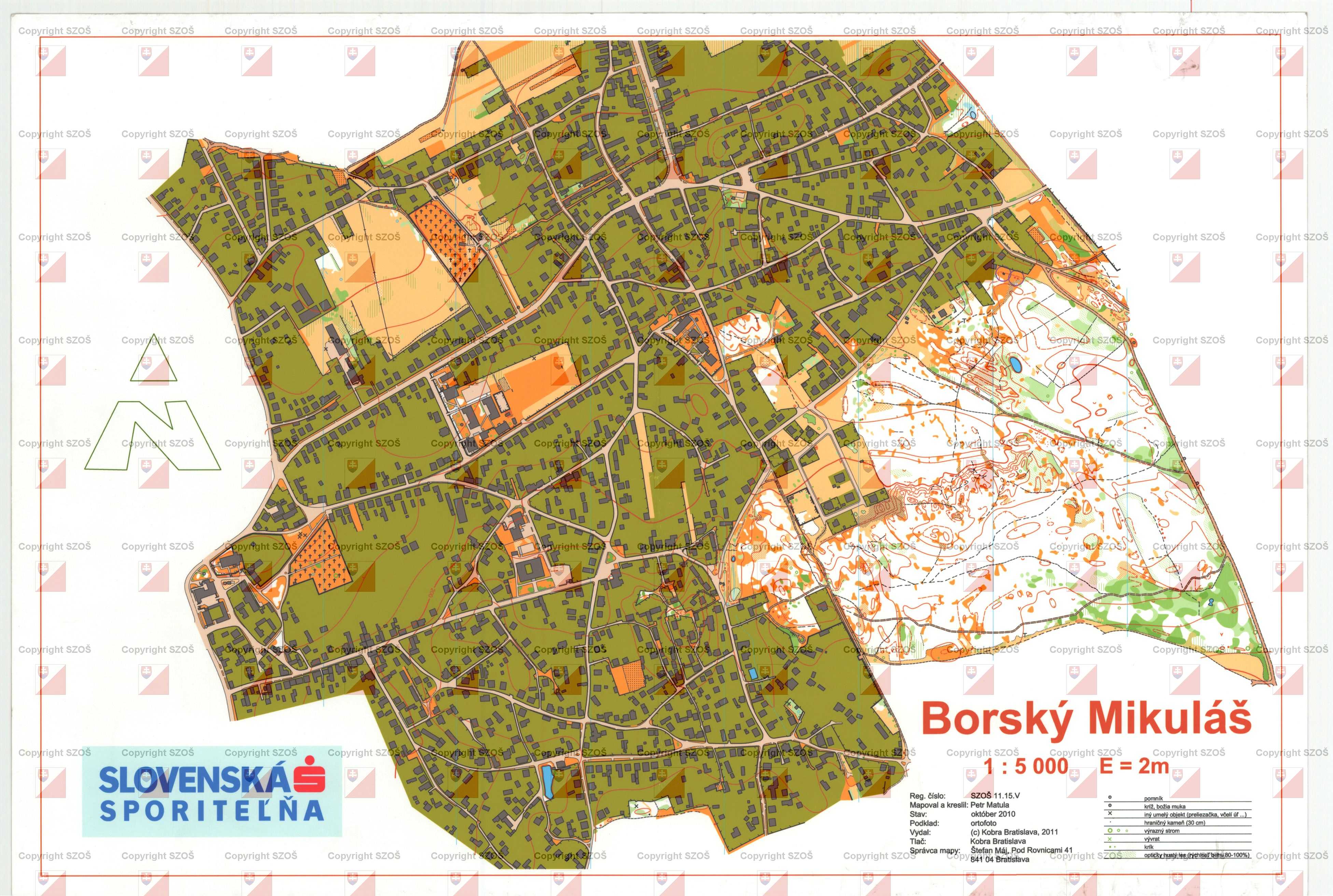
2. Borský Mikuláš (48.628111, 17.223697) A typical flat terrain for lowland Záhorie – pine forest with sand dunes. A forest path with mostly firm surface but on some places with sand surface. 200 – 250m above sea level. Last FootO competition in year 2016. Last TrailO competition in year 2015. |
1:4000, e=2m, 2015, ISSOM
http://www.orienteering.sk/maps-new/mapy/mapa/mapa.php?j=sl&id=1034
|
1:4000, e=2.5m
|
 |
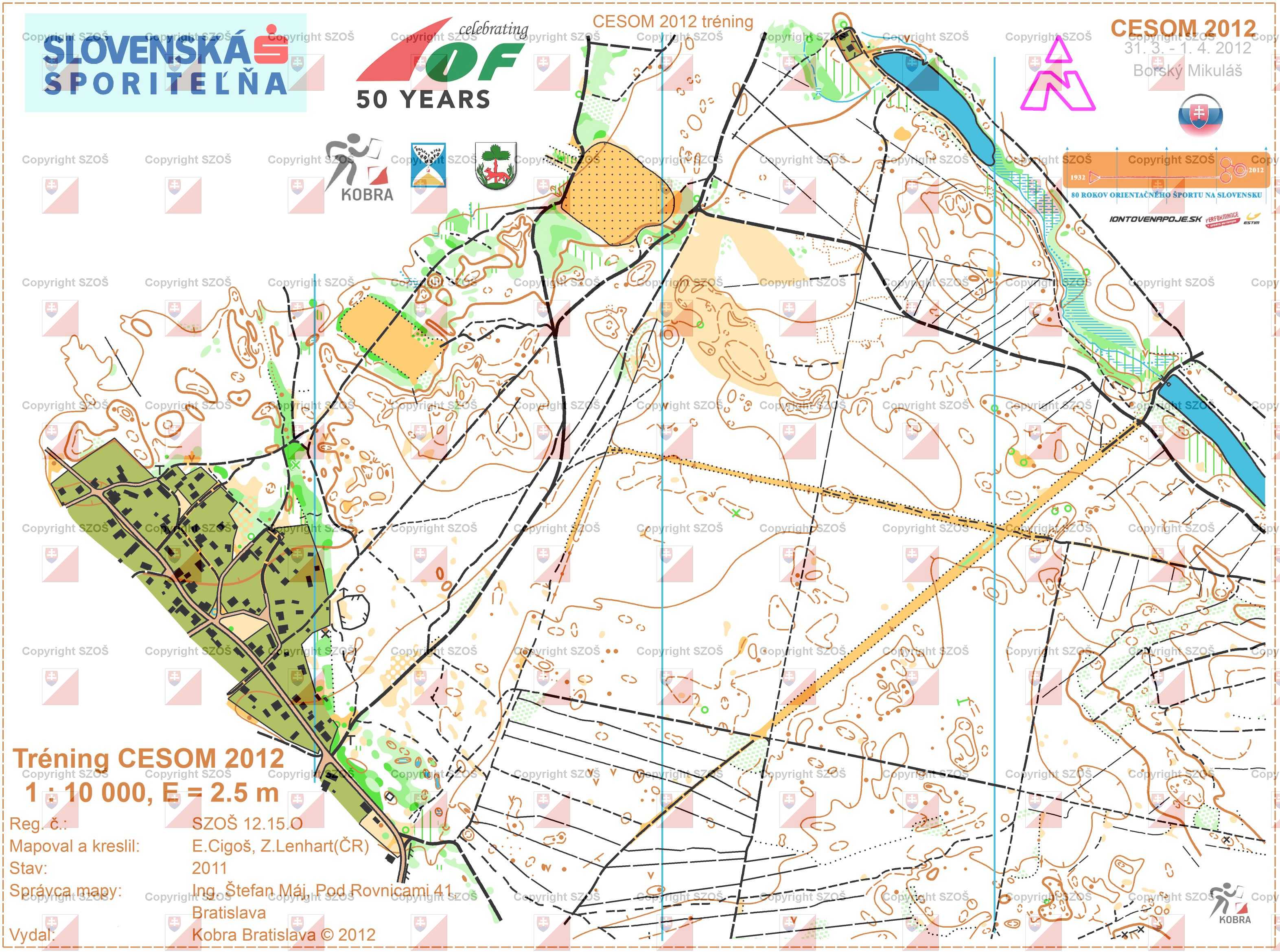
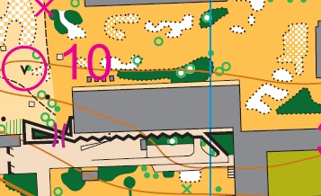
3. Borský Mikuláš II (48.6414317, 17.2275847) A typical flat terrain for lowland Záhorie – pine forest with sand dunes. A forest path with mostly firm surface but on some places with sand surface. 200 – 250m above sea level. Last FootO competition in year 2012. Never used for TrailO. |
1:10000, e=2.5m, 2011, ISOM
http://www.orienteering.sk/maps-new/mapy/mapa/mapa.php?j=sl&id=1104
|
1:4000, e=2.5m 2017, ISSOM 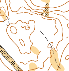 |
 |
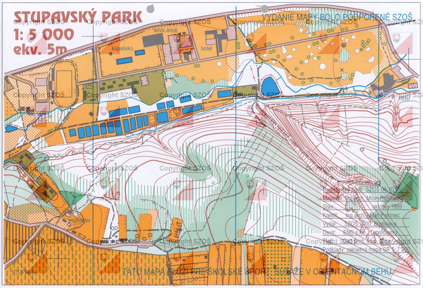
4. Stupava (48.280444, 17.055993) A typical Little Carpathians hilly terrain covered by deciduous forests and parks with various vegetation – mostly maintained lawns and deciduous forests. 180 – 280m above sea level. Last FootO competition in year 1990 (2000). Never used for TrailO. |
1:15000, e=5m, 1990, 1:5000, e=5m, 2000, ISOM http://www.orienteering.sk/maps-new/mapy/mapa/mapa.php?j=sl&id=649
http://www.orienteering.sk/maps-new/mapy/mapa/mapa.php?j=sl&id=73
|
1:4000, e=2.5m
|
| N/A | 5. Plavecký Mikuláš (48.502577, 17.320693) A typical karst valley with karst surface and high steep slopes. Territory largely covered by deciduous forests with beech, common ash, sycamore maple and linden. 300 – 500m above sea. Never used for orienteering. |
N/A | 1:4000, e=2.5m 2017, ISSOM 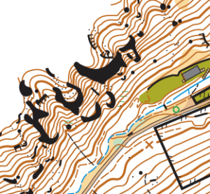 |
| N/A | 6. Sološnica – backup terrain (48.448669, 17.250037) A typical Little Carpathians valley. Territory largely covered by deciduous forests with beech, common ash, sycamore maple and linden. 300 – 500m above sea level. Never used for orienteering. |
N/A | 1:4000, e=2.5m 2017, ISSOM 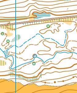 |
 |
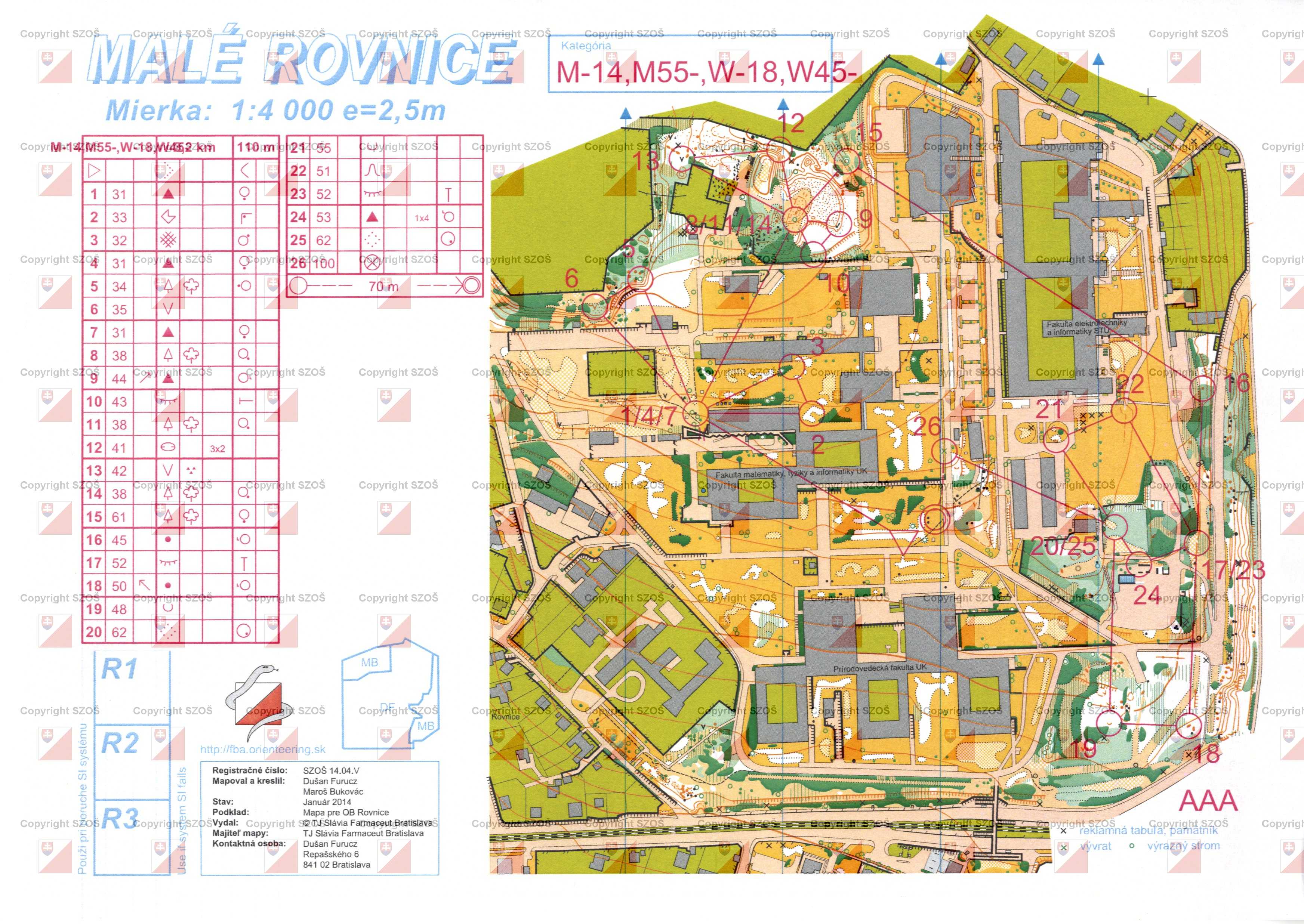
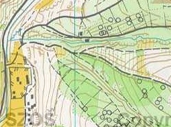
7. Rovnice (Bratislava) – backup terrain (48.148713, 17.072576)University campus with various vegetation – mostly maintained lawns and deciduous forests, botanical garden. 130 – 200m above sea level.Last FootO competition in year 2014. Last TrailO competition in year 2014. |
1:4000, e=2,5m, 2014, ISSOM, backup terrain http://www.orienteering.sk/maps-new/mapy/mapa/mapa.php?j=sl&id=1238
|
1:4000, e=2.5m 2017, ISSOM |